

Apartments in Rock Springs, Wisconsin
A PAC Management community in Rock Springs — with what is around them.
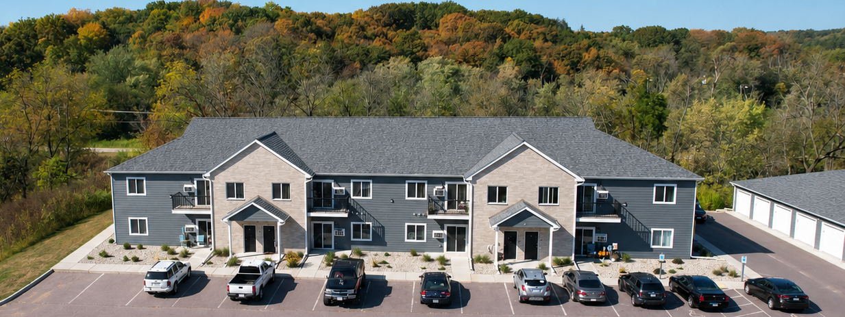
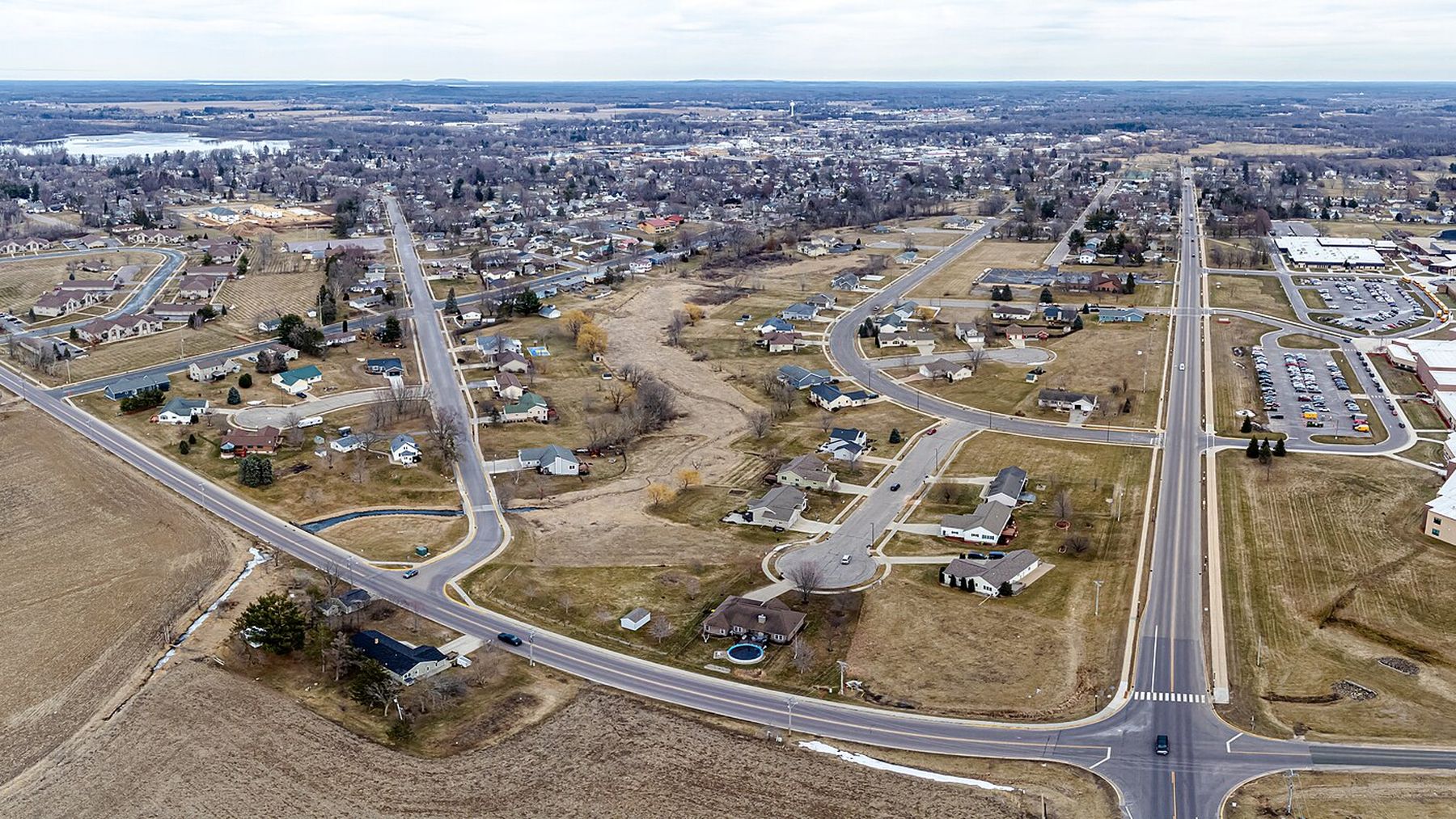
Rock Springs is a small Sauk County village on the Baraboo River, wrapped around the rock walls of Ableman's Gorge — quiet enough to hear the river, errands a short drive to Reedsburg, 7 miles west.
Our community in Rock Springs
Things to do in Rock Springs

Van Hise Rock
A monolith of Baraboo quartzite standing in a wayside on Highway 136. Charles Van Hise worked out how the quartzite formed and wrote the first detailed treatise on metamorphism in 1904; University of Wisconsin geologists used this outcrop to demonstrate the principles he described, and it is still used in geological teaching and research. It was designated a National Historic Landmark on 25 September 1997, and the wayside gives public access.
Rock Springs Artesian Well
A free public artesian well that gave the village its name: Ableman was renamed Rock Springs in 1875 for “the many natural artesian springs which abound in and around the village.” The well still runs on private land the owner keeps open to the public, no fee, around the clock, and it draws visitors well outside Sauk County who come to fill water jugs at the pipe. It is monitored by security camera, and the turnaround is shared with the tanker trucks of a bottled-water distributor that also draws from it.

Ableman's Gorge State Natural Area
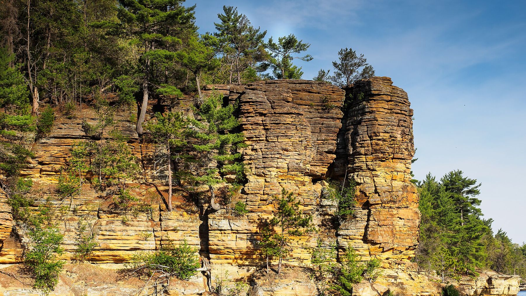
127 acres where the Baraboo River cuts an L-shaped gorge through Baraboo quartzite, with cliffs and rocky slopes rising about 200 feet above the water. The cool, moist north-facing slopes hold hemlock, yellow birch and ferns more typical of northern Wisconsin, and the contact between the quartzite and the younger Cambrian sandstone is exposed here. Parking is just before the Baraboo River bridge. Hiking, fishing and cross-country skiing are allowed; camping, rock climbing, geocaching and collecting rock are not.

Mid-Continent Railway Museum
A working railway museum on a former Chicago and North Western spur line built in 1903 to serve iron mines. The collection runs to nine steam locomotives, eight diesels and over 100 other pieces of rolling stock, including the largest collection of wooden passenger cars in the United States. The ride is a 7-mile round trip of about an hour, from North Freedom through the former mining community of La Rue to a rock quarry and back, at a top speed of 15 mph. Check the museum for current operating dates before going.
Wisconsin Big Cat Rescue
A USDA-licensed 501(c)(3) sanctuary and education centre started by Jeff and Jenny Kozlowski in March 2005, housing tigers, lions, liligers, lynx and African servals. From Labor Day through 1 December it is open for tours Saturdays and Sundays, 10am to 4pm, with Monday to Friday visits by appointment. Ticket sales stop an hour before closing. Two cabins on the grounds, the Family Cabin and the Spa Cabin, can be reserved.

Devil's Lake State Park
500-foot quartzite bluffs over a 360-acre lake, with nearly 30 miles of hiking trails, lakeshore picnic areas, swimming beaches, paddling and year-round naturalist programs. The park sits along the Ice Age National Scenic Trail. It is open 6am to 11pm year-round and a vehicle admission sticker is required.

The 400 State Trail
A 22-mile crushed-limestone rail trail between Reedsburg and Elroy, open year-round. It is named for the Chicago and North Western passenger train that ran on this grade and covered the 400 miles from Chicago to Minneapolis and St. Paul in 400 minutes. The renovated Reedsburg depot is the trail headquarters and sells the state trail pass, required for bikers and horseback riders aged 16 and over. At Elroy the trail connects to the Elroy-Sparta State Trail and the Omaha Trail, and at Union Center to the Hillsboro State Trail.
Photos: Van Hise Rock — James St. John, CC BY 2.0; Ableman's Gorge State Natural Area — Joshua Mayer from Madison, WI, USA, CC BY-SA 2.0; Mid-Continent Railway Museum — mnphysicist, CC BY-SA 2.0; Devil's Lake State Park — Yinan Chen, Public Domain; The 400 State Trail — Wikideas1, CC0. Via Wikimedia Commons.
Coming up in Rock Springs
Available now in Rock Springs
What it costs today: one-bedrooms from $1,150, two-bedrooms from $1,350. Live from our leasing system, 2026-08-27.
One example of each layout that is open right now. A unit taken today can linger here for a few minutes.
All available rentalsLiving in Rock Springs
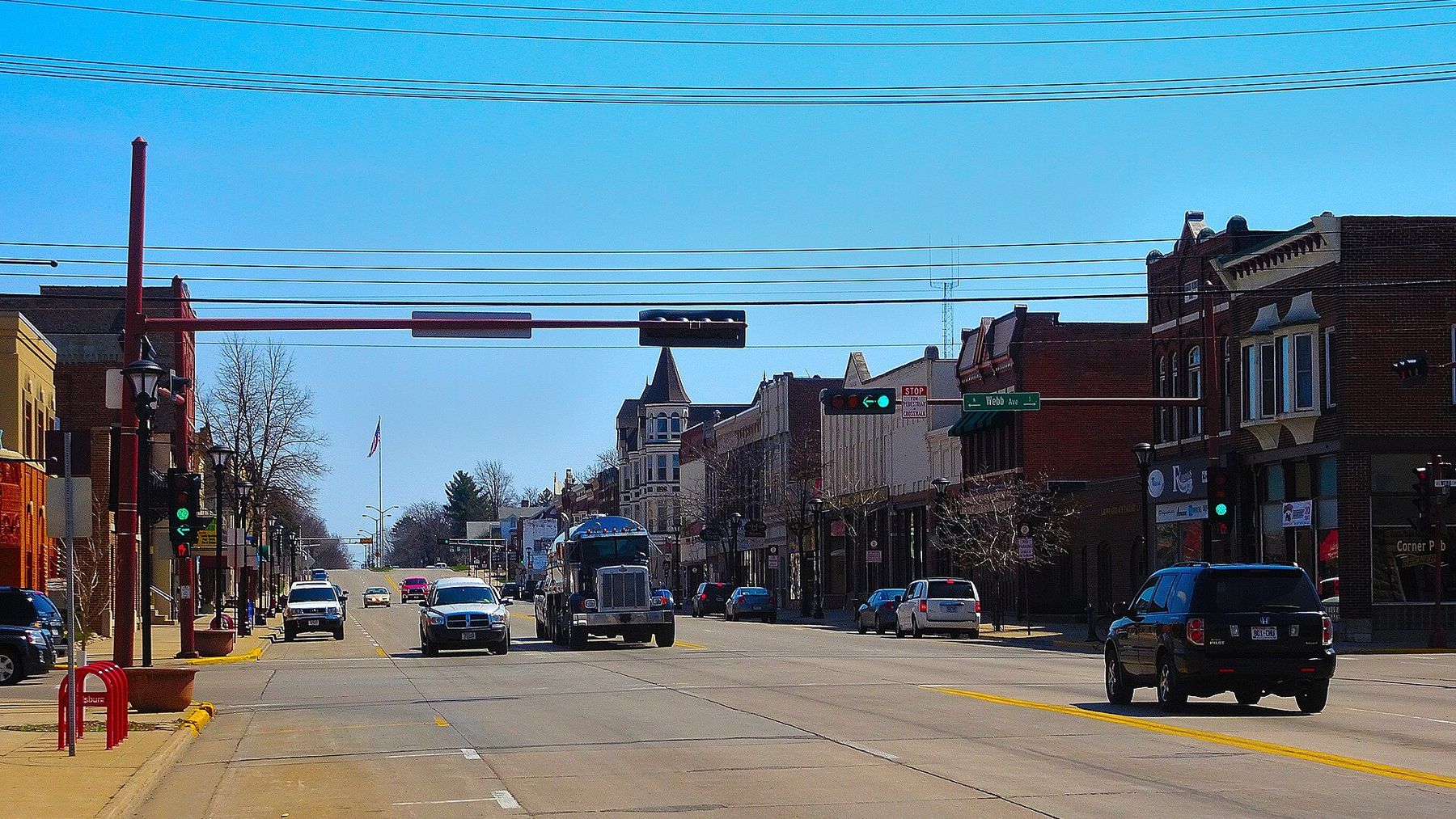
Rock Springs is in the School District of Reedsburg, which also serves the city of Reedsburg, the villages of Ironton, La Valle and Loganville, and the surrounding rural area. Its five schools are all in Reedsburg: Pineview Elementary on Eighth Street, Westside Elementary on Alexander Avenue, Prairie Ridge Intermediate on Eighth Street, Webb Middle School on North Webb Avenue and Reedsburg Area High School on South Albert Avenue. The village's own Rock Springs Elementary was closed in 2010 as a result of a failed referendum to provide more funding for the school; the building had been damaged in the 2008 flooding of the Baraboo River. Call the district for current grade assignments. source
Reedsburg Area Medical Center, in Reedsburg, has the nearest emergency room. It operates 24 hours a day, seven days a week, with CT scans, MRIs, ultrasounds and lab services on site. An InstyMeds machine at the ER entrance dispenses prescription medication around the clock, which covers after-hours prescriptions when pharmacies are shut. source
Rock Springs sits on Highway 136, which runs 17.1 miles end to end. Its western end is an intersection with Highways 23 and 33 just east of Reedsburg; from there it runs east through Rock Springs, West Baraboo and Baraboo, and ends at the entrance to Devil's Lake State Park. So Reedsburg is the town to the west and Baraboo the town to the east, both reached on that one road. source
There is no scheduled bus or rail service to the village, so a car is effectively required. The nearest option is the City of Reedsburg's shared-ride taxi, operated by Running, Inc., which runs Monday to Saturday 6am to 9pm and Sunday 8am to 7pm. Its service area is Sauk County up to five miles outside the Reedsburg city limits, with trips to Baraboo for medical appointments only. Rock Springs lies outside the city limits, so call (608) 768-1144 to ask whether a pickup here is possible before relying on it. source
NOAA's 1991-2020 normals for the Rock Springs 3 SW station put the December-February average temperature at 21.6F, with an average low of 14.6F and an average high of 28.5F. That station's normals file records temperature only and carries no snowfall figures, so plan on ordinary southern Wisconsin snow cover and check a nearer reporting station if you need a number. source
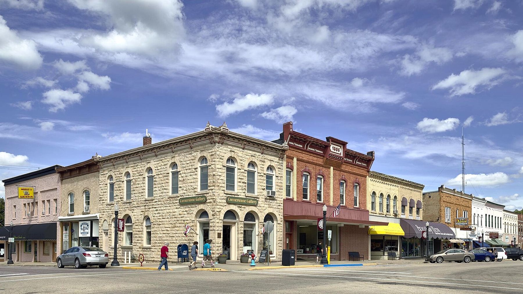
The village's own business directory lists the Rock Spring Mobil gas station at 103 W Broadway, Station 136 Kitchen & Cocktails at 105 East Broadway, The Hearth Within at 204 E Broadway, United Cooperative at 399 Railroad Street, St. John's Church at 299 West Broadway, Wisconsin Big Cats Rescue at 305 Pine Street and the Rock Springs Public Library at 251 Railroad Street, along with Mead King Brewing, River Creek Popcorn and The Byers Studio. source
What’s nearby
Places within about 7 miles, from OpenStreetMap. Our communities are the orange pins.
Nearby towns
Questions about renting in Rock Springs?
Our office answers the phone during business hours — and knows every building on this page.